Expert Discussion with Bappenas on Mapping Health Facility Access

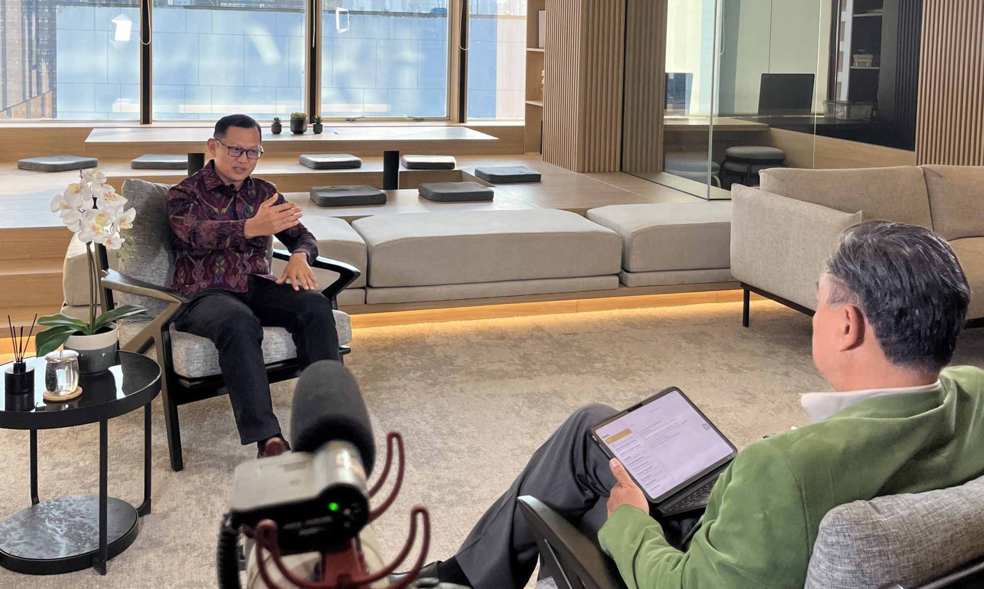
The Directorate of Public Health and Nutrition, Ministry of National Development Planning (Bappenas) of the Republic of Indonesia invited me to share my views regarding their new project. They are mapping access to health service facilities between regions, especially in island areas (kepulauan). During the process, they need experts’ views  regarding the results of the mapping.

I was invited to give my views on the matter. The meeting was conducted online through zoom involving different parties. Assisted by Akram, a young alumni of our department, I delivered some notes and points to improve the mapping process. In general, they have done good job in improving access to health facilities using geospatial sciences and technology.

Discussion on the Standard of the Boundary Official Map of Indonesia

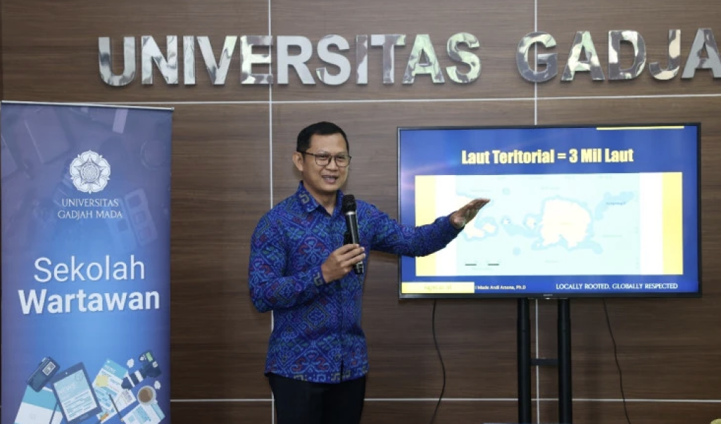
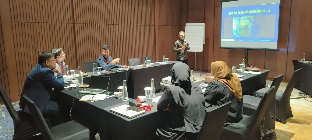
A delegate from the Indonesian Geospatial Information Agency visited the Department of Geodetic Engineering on 19 March 2024 to discuss the Standard (SNI) of the Boundary Official Map of Indonesia. I was in particular asked to be a discussion partner for the map being discussed is regarding maritime boundaries. The agency is preparing a new map to be published and they want to make sure they are implementing the latest standard.

I gave some insights on maritime boundary issues for the delegate to understand better. I covered, especially, the history and development of the issue and how Indonesia came up with the current map. I also pointed out some potentially problematic segments that might need close attention when producing the new map. We might see a different map compared to the one we had in 2017 (the latest and current version).

The discussion went well and everybody seemed to manage to learn one thing or two.  Such meeting is important to ensure collaboration between Industry/Government and the academic world. We look forward to working together more.

Participating at the Australia-ASEAN Maritime Summit in Melbourne

It was a great privilege for me to be invited to the Australia-ASEAN Maritime Summit. From 4-6 March 2024, the Honourable Anthony Albanese MP, Prime Minister of Australia, hosted leaders from Southeast Asia for the 2024 Special Summit to Commemorate the 50th Anniversary of ASEAN-Australia Dialogue Relations. The Special Summit marked an historic elevation in Australia’s ties with ASEAN, recognised in the Melbourne Declaration – A Partnership for the Future.

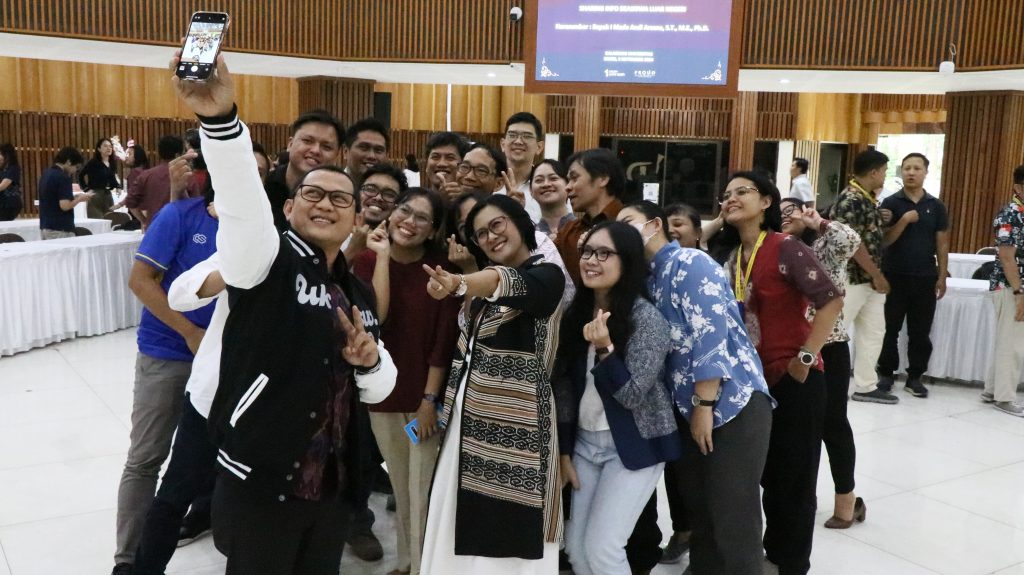
a picture with ANCORS alumni participating at the event – ANCORS is my alma mater for PhD

Alongside the Leaders’ engagement, the Special Summit’s success owed much to thematic tracks on Business, Emerging Leaders, Climate and Clean Energy, and Maritime Cooperation. I am happy to be the part of the  the Maritime Cooperation Forum. I was there as an academia, learning about how to foster deeper cooperation between ASEAN and Australia. The Special Summit also helped me build long-lasting connections with scholars from different countries.

The Special Summit program and outcomes not only represented what ASEAN and Australia have jointly achieved over the past fifty years – since Australia became ASEAN’s first Dialogue Partner – but also everything we aim to achieve in the next fifty. For more information, we can visit the Special Summit website at aseanaustralia.pmc.gov.au.

Teaching Maritime Boundary Issues at NUS, Singapore

The National University of Singapore (NUS), in collaboration with the Australian National Centre for Ocean Resources and Security (ANCORS) regularly conduct training on maritime boundaries. This year, the training was held on 27-29 February 2024 and I was honored to be of the trainers.

participants and trainers

The Workshop had a record number of 56 participants from diverse professional backgrounds, including diplomats, hydrographers, lawyers and academics. The 2024 Workshop welcomed, for the first time, 9 participants from 5 Pacific Islands Countries: Fiji, Palau, Samoa, Tonga and Vanuatu. ASEAN member states continued their active engagement with this workshop series, with 31 participants in this year’s workshop from Cambodia, Indonesia, Lao PDR, Malaysia, Myanmar, the Philippines, Singapore, Thailand and Viet Nam. In addition the program also welcome participants from the Bahamas, Chile, Egypt, Maldives, Oman joining us this year. The Workshop had participants from 22 countries.

me teaching a small group on technical aspects of maritime boundary delimitation

I shared a session with Clive Schofield, my former supervisor, on the technical aspects of maritime boundary delimitation. It was fun. I had to opportunity to share some of my old and new animations to visually explain complex issues of maritime boundary delimitation. I also helped participants during negotiation exercises.  I was so glad to participate and for meeting some good friends.

Joint Public Lecture: UGM x Nagoya University

The Master Program of Geomatics Engineering of UGM collaborated with the Department of Earth and Environmental Science, Graduate School of Environmental Studies, Nagoya University, Jepang in conducting a short workshop. Seven students and two professors from Nagoya University came to Jogja for a ten-day program, one of which was a joint public lecture.

I was asked to deliver a lecture for the program where around 20 students from Japan and Indonesia attended. My lecture was on Border in a Borderless World, talking particularly about issues on international maritime boundaries. Being a public lecture, the program was open for public and students from different faculties/schools came to attend. It was a good challenge for to deliver the lecture in a language that is accessible to those with different background. I personally enjoyed it.

The lecture went well with some good questions from the audience. Prof. Ito from Nagoya University also participated actively by discussing some part of my lecture. For me personally, the lecture was a good test, how effective I could be in delivering lecture for audiences with various background. In general, I was happy!

Introducing Indonesia, Bali, and Hindu to Japanese Students

It felt so great to be back at the Office of International Affairs (OIA). It has been almost a year after I left the office, transitioning my position from the head of the office to the head of Master Program of Geomatics Engineering. Now that OIA invited me to speak to students from Ritsumeikan University, Japan, I somehow felt nostalgic. Academic Internationalization has been in my blood, I guess.

The topic was unusual. I was tasked to talk about Indonesia, Bali, and Hindu. The students need to understand Indonesia and its diverse culture better so I had to honor to speak to them. It was a one-hour session but it seemed to me that we used it effectively. Students’ enthusiasm helped me gain great energy in delivering my lecture.  They also had some critical questions so that we had good conversation after the presentation.

Discussion on the Draft of the Government Regulation on Internal Waters

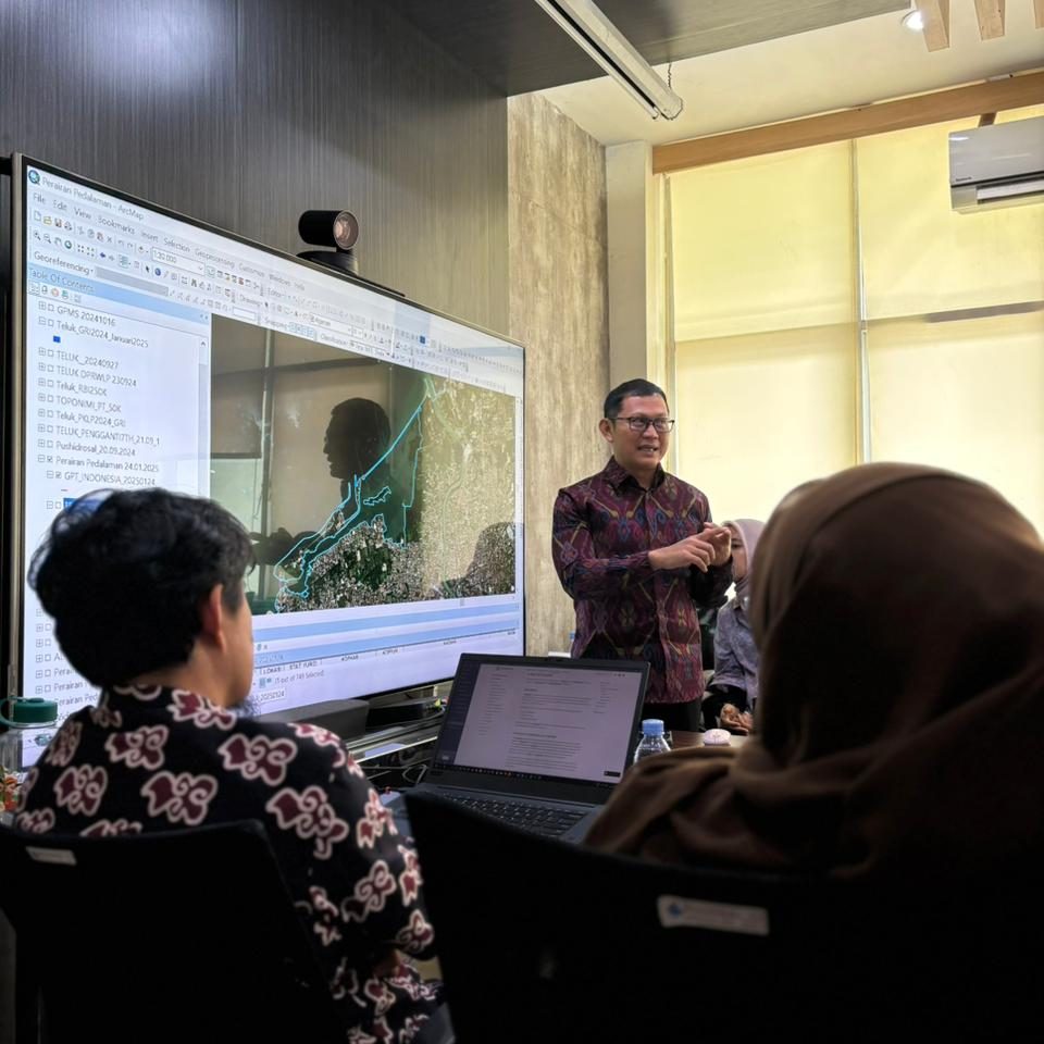
A delegation consisting of people from the Coordinating Ministry of Maritime Affairs and Investment , Ministry of Marine Affairs and Fisheries, and Geospatial Information Agency visite the Department of Geodetic Engineering on 12 February 2024. The purpose of their visit was to discuss the Draft of the Government Regulation on Internal Waters. I was specifically asked to be only resource person at the discussion.

There has been an initiative to establish a Government Regulation regarding International Waters in Indonesia. The draft is currently being discussed by all stakeholders in order to improve its quality. During their visit to UGM, we had specific and engaging discussion on a number of issues such as the definition of internal waters, the delineation of internal waters within archipelagic state, the impact of sea level rise to the shape of the coastlines.

I did not touch to much on the legal provisions but I took my time to explain key issues using illustration so it was, I hope, easier for people to understand.


Discussing Presidential Candidate’s Vision on Maritime Affairs

The Indonesian Ocean Justice Initiative (IOJI) extended an invitation to me to take part in a discussion on  Presidential Candidate’s Vision on Maritime Affairs. It was such an honor. I flew to Jakarta on 6 February 2024 to join the discussion forum at the Katadata Building. The event was a collaboration between IOJI and Katadata.

The team of each presidential candidate presented their vision and plan on maritime affairs and two experts were asked to respond and give comments. Serving as the experts are Mas Arie from UI and I. It was great to be there. I also admire how IOJI managed to present its study on maritime issues and the law of the sea in Indonesia with public domain data. Such a comprehensive report, I think.

The event was recorded and here is part of it:

https://www.youtube.com/watch?v=ZmWPet2QzNM&t=6999s


PK221: Speaking at the LPDP Pre-Departure Preparation Program of January 2024

It was 2015 when I was asked for the first time to speak at the LPDP Pre-Departure Preparation Program. Hundred of the Indonesian young people were set to travel all around the Globe to study master of PhD. They were paving their way to become global scholars. It was an honor for me to speak to them to prepare their journey.

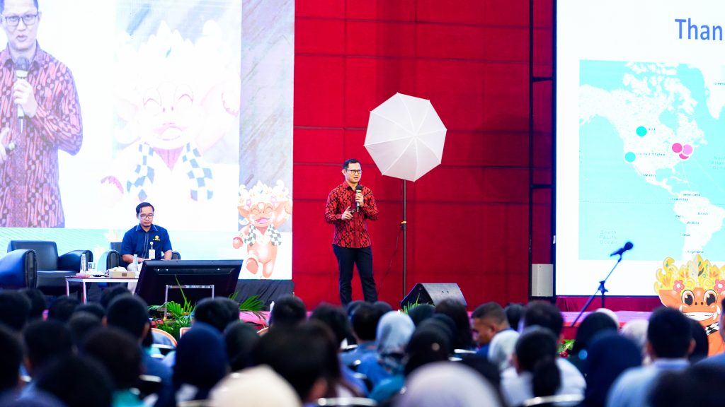
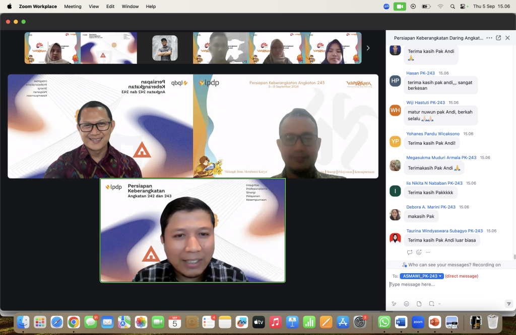
It seems that my 2015 performance was acceptable and here I am now. After almost a decade after my first appearance in the respected stage in front of the Indonesian scholars to be,  I, once again, was asked to speak at the same event. It was 9 January 2024 in Jakarta. I spoke in front of hundreds of young and energetic people. It was so much fun.

A little bit different from my usual topic, which is academic writing and how to become scholar, this time, I delivered something around “Scholar Social Responsibility”. It is always good to try something new. I prepared the lecture seriously since there were a lot to add into my existing content.  I am glad that I delivered it well. At least I presented the lecture as well as I prepared it.

One special note about the event was that Akram, my former student, was part of the group.  Not only as a regular participant, Akram served as the moderator for my session. There is no bigger happiness for a teacher like me than seeing my student sitting next to me in a same stage and then fly higher to reach his/her dream. I am a happy teacher.

Serving as a Panelist for the Presidential Candidate Debate

I started the year of 2024 with a big step, at least for me. I was appointed by the Indonesian General Election Commision (KPU) as a panelist for the 2024 Presidential Candidate Debate. It was the third round with a topic around defence, security, international relations, geopolitics, diplomacy. It seems that my focus of research on maritime boundaries has been the reason of me being picked.

I saw, the assignment as a panellist is an accumulation of my two-decade study on geospatial aspects of the law of the sea, particularly maritime boundary issues. In May 2003, I was involved in a project of border demarcation between Indonesia and Timor Leste. The project brought me to Atambua in East Nusa Tenggara, Indonesia to conduct Global Positioning System (GPS) campaign. It was an eye-opening experience, where I started to understand the boundary making process and how it really is a multi-disciplinary issue.

I never saw that the small step I took twenty years ago would bring me to the national stage as a presidential candidate debate panelist. To be frank, I am so grateful and also proud. To be able to introduce geospatial issues in a presidential debate, for me personally, is an achievement. I really hope that the moment serve as a starting point of more positive roles in the future.