It was a great privilege for me to be invited to the Australia-ASEAN Maritime Summit. From 4-6 March 2024, the Honourable Anthony Albanese MP, Prime Minister of Australia, hosted leaders from Southeast Asia for the 2024 Special Summit to Commemorate the 50th Anniversary of ASEAN-Australia Dialogue Relations. The Special Summit marked an historic elevation in Australia’s ties with ASEAN, recognised in the Melbourne Declaration – A Partnership for the Future.

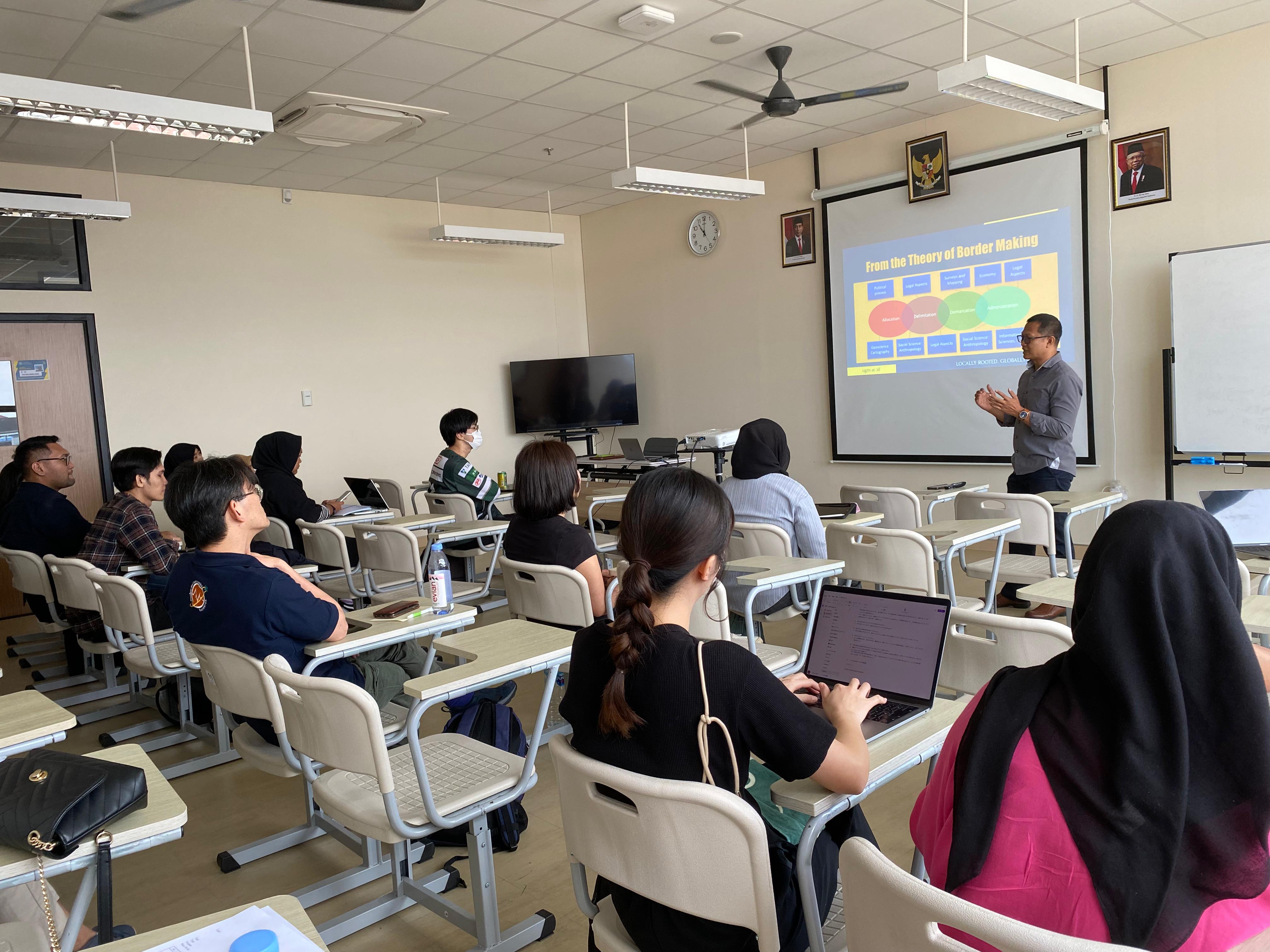
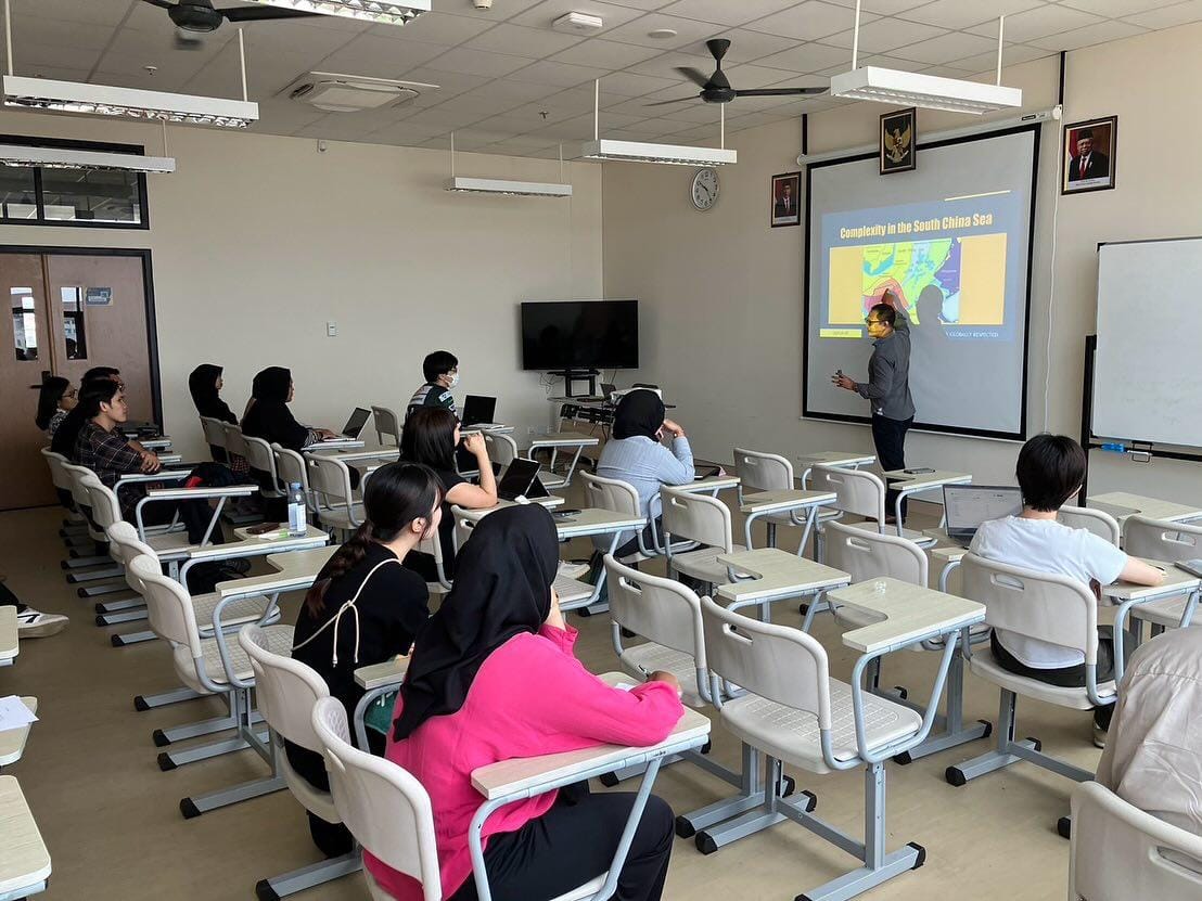
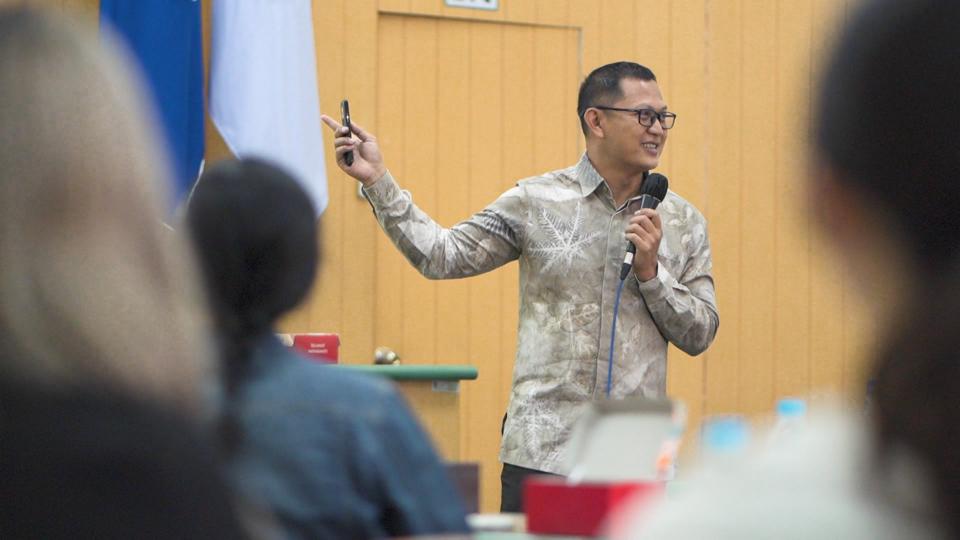
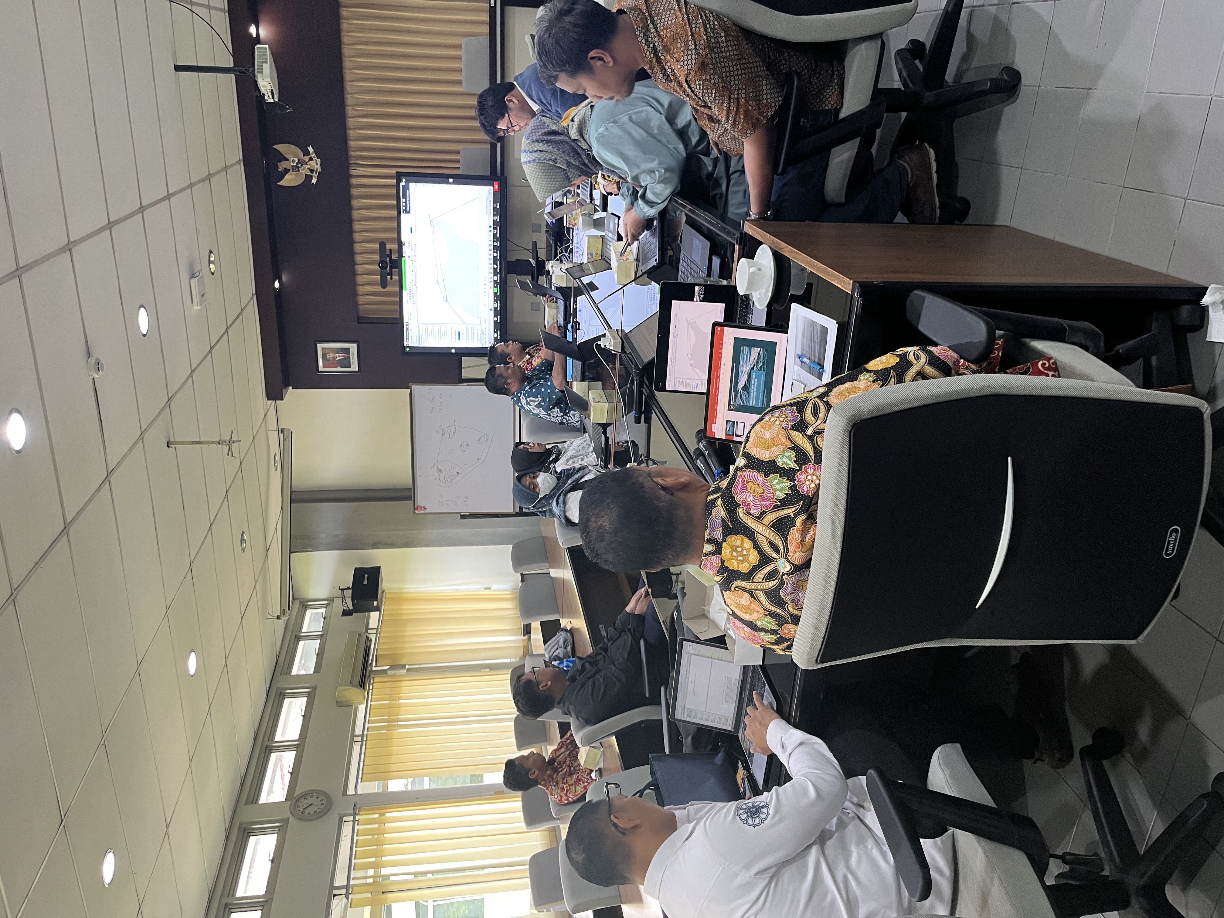
Alongside the Leaders’ engagement, the Special Summit’s success owed much to thematic tracks on Business, Emerging Leaders, Climate and Clean Energy, and Maritime Cooperation. I am happy to be the part of the the Maritime Cooperation Forum. I was there as an academia, learning about how to foster deeper cooperation between ASEAN and Australia. The Special Summit also helped me build long-lasting connections with scholars from different countries.
The Special Summit program and outcomes not only represented what ASEAN and Australia have jointly achieved over the past fifty years – since Australia became ASEAN’s first Dialogue Partner – but also everything we aim to achieve in the next fifty. For more information, we can visit the Special Summit website at aseanaustralia.pmc.gov.au.