Indonesia is currently defining its internal waters, especially those within bays. The project, in fact, has been there for quite some times. I started to help the government of Indonesia in defining internal waters since 2017 if not earlier. Technically speaking, Indonesia is in the process of closing its bays using bay-closing lines so that the waters situated in the inland side of the line can be claimed as internal waters.
The process is, unsurprisingly, not straight forward. To identify bays along the coasts of Indonesia and closing their mouth using straight lines is not that difficult but it is not that simple. Legally speaking, the closing process needs to be in compliance with certain regulation as set by the United Nations Convention on the Law of the Sea (UNCLOS) 1982. In fact, not every single bay that one manages to identify in a certain location can be easily claimed as a juridical bay. If this is the case, a bay-looking feature/landscape might not be a bay from a legal perspective. Hence, waters enclosed within such bays cannot be claimed as internal waters.
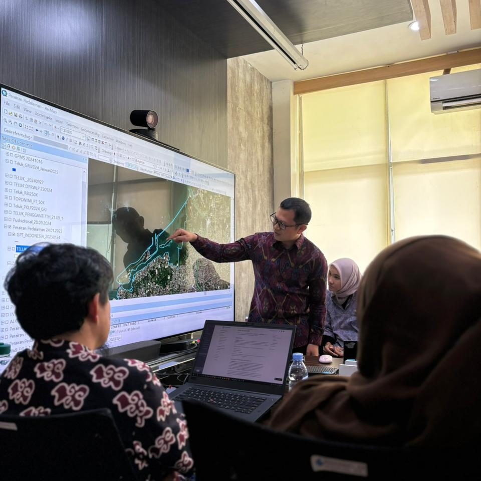
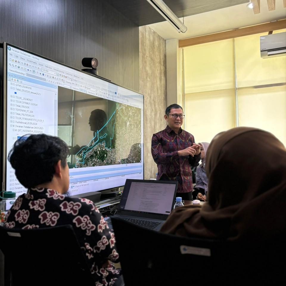
Alternatively, bays that cannot meet legal criteria as set by UNCLOS 1982, can be considered as historical bays, which leave a big space for interpretation. In short, Indonesia needs to go through complex procedures and, in this case, advices from scholars are needed. I was happy to be a small part of the process. On 24 January 2024, I was invited by the Geospatial Information Agency (BIG) in a workshop where I provided them with some advices.
Recent Comments