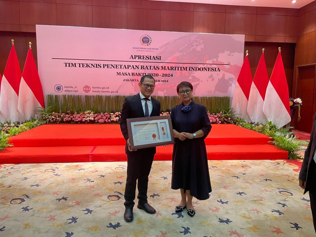
Yes, I received an award from the Minister of Foreign Affairs, Ibu Retno Marsudi. For me, this is truly special. Receiving recognition from the Foreign Minister was something I never imagined when I first ventured into boundary issues. Time moves quickly. The universe conspires to make things happen with remarkable swiftness. To others, this award might not seem extraordinary, but for me, it’s a different story. For me, for my family, and especially for my parents, this is a story that will color their conversations in coffee shops, at village gatherings, in community meetings, at senior citizen events, and even at lively mass yoga sessions.
I was appointed as a member of the Technical Expert Team on Maritime Boundaries for Indonesia in 2015, a year after returning from Australia, where I completed my PhD. My studies at UNSW for my master’s and at the University of Wollongong for my PhD focused on maritime boundaries. I explored this field from both technical and legal perspectives, especially in geospatial aspects, which I had studied in Geodetic Engineering at UGM. This background is likely what led me to this role.
As an expert team member, my task was to provide guidance to the Indonesian negotiation delegation before they engaged in boundary discussions with neighboring countries. I carried out this role based on a decree from the Minister of Foreign Affairs. The process is simple. I’m often invited to meetings to discuss issues related to maritime boundaries. The Ministry of Foreign Affairs, as the main body in boundary negotiations, typically presents its views and stance on a particular case. As an expert, I’m asked to respond and offer input. Occasionally, we’re also tasked with conducting specific studies to inform the negotiation team.
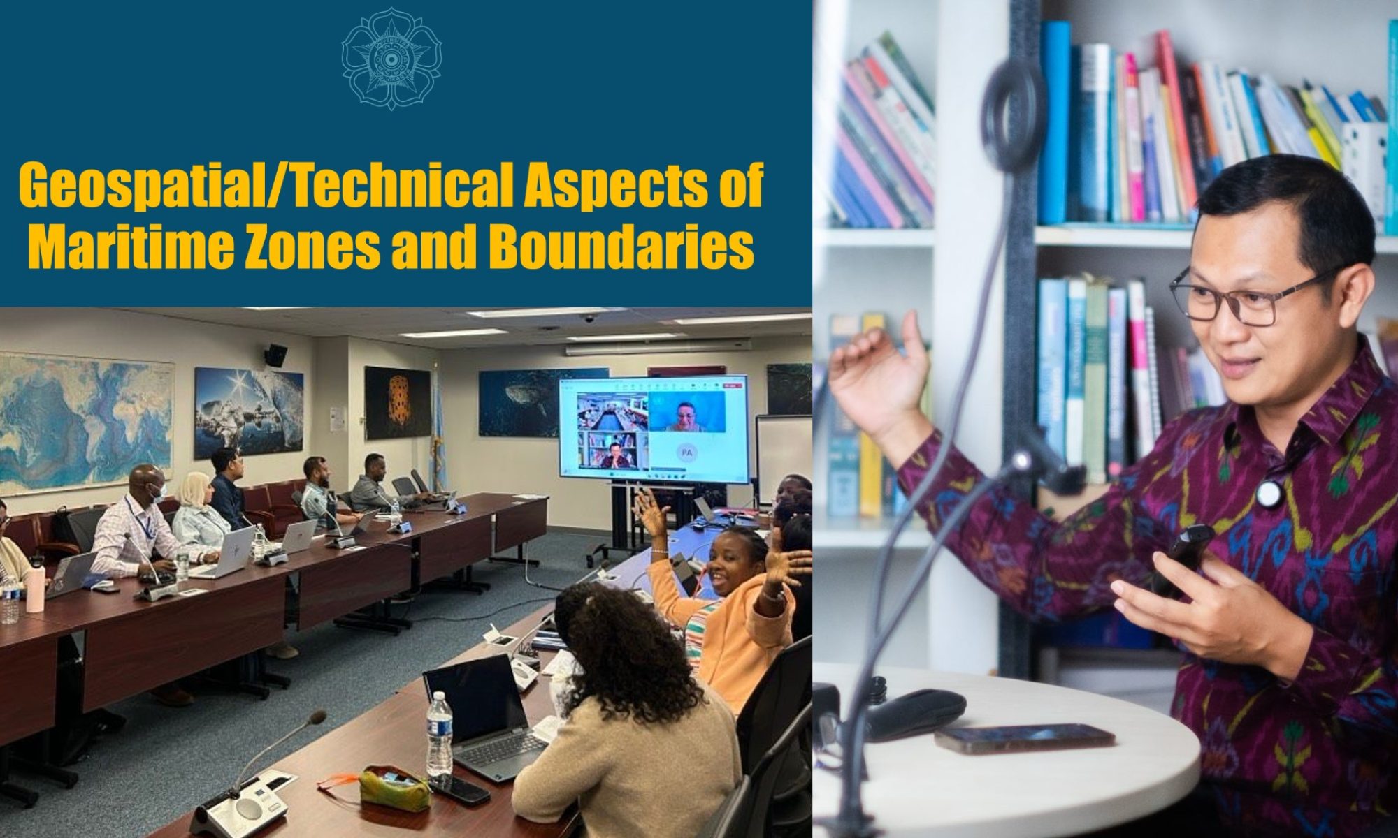
During my time in this role, I seem to have taken on the task of explaining the technical details related to maritime boundaries more frequently. Members of the boundary setting team rotate quickly, so a process of educating new members is always necessary. More often than not, I find myself in that role. It’s understandable—as a lecturer, explaining is part of the job. That means my role isn’t always to advise the delegation to take a specific stance in negotiations with certain countries.
I’m increasingly convinced that maritime boundaries are a multidisciplinary matter. Understanding geodesy alone is not enough. Understanding law alone is also not enough. Maritime boundaries are a blend of many fields. Therefore, the expert team consists of academics and practitioners from diverse backgrounds. Alongside me were the late Prof. Melda Kamil (UI Faculty of Law), Dr. A. Gusman Siswandi (Unpad Faculty of Law), Dr. Kresno Buntoro (Indonesian Navy), Dr. Trismadi (retired Indonesian Navy), and Dr. Benyamin Sapiie (Geology, ITB). In addition to the expert team, there are advisors, including Dr. Hassan Wirajuda, Ambassador Prof. Edy Pratomo, Prof. Sobar Sutisna, and Prof. Himahanto Juwana. Together, we provide insights to be considered. I’ve certainly learned a great deal from these experts. In that group, I am indeed the youngest in age.
In reality, as a member of the expert team, I’m not directly involved in negotiations. Even so, I had the opportunity to observe a negotiation with Timor Leste. Through that experience, I learned what the actual negotiation atmosphere is like. I saw how one presents an opinion, how to counter, and how to agree. As a surveyor, I learned to communicate with words, rather than just with points, lines, and areas on a map.
Being in a multidisciplinary environment taught me to convey ideas systematically and simply. That also motivated me to create many animations explaining maritime law. The tasks from the Ministry of Foreign Affairs challenged me to stretch my creative muscles in presenting complex legal matters in more “friendly” audio-visual formats. I enjoy this role. Hopefully, my colleagues who follow my presentations feel the same way.
These nearly ten years of experience are incredibly valuable. Over the past decade, three maritime boundaries have been successfully established with neighboring countries. This is a significant achievement, considering that defining maritime boundaries is no simple task. I feel happy to be a small part of this accomplishment. I feel proud because what I often narrate in class indeed has real-world relevance. What I teach has significance for this nation. As a teacher, this strengthens my confidence in sharing knowledge in the classroom.
Ibu Retno Marsudi’s tenure has now concluded. She will soon take on a greater role as the United Nations Secretary-General’s Special Envoy for Water Affairs. The recognition awarded to us—the Expert Team, Advisors, and Technical Team on Maritime Boundaries—was also a farewell event for her. I could sense that Ibu Retno is dearly loved by many. Her professionalism combined with humility makes her easy to admire. This was evident in her demeanor and speech during the award ceremony.
I recall our first meeting in 2013 in Amsterdam when she was Indonesia’s Ambassador to the Netherlands. At that time, I was one of the winners in a writing competition organized by PPI Netherlands. Time does indeed fly. Eleven years later, we met again, shook hands, and took photos once more. The roles and atmosphere have changed. Only one thing remains the same: our Indonesia!
