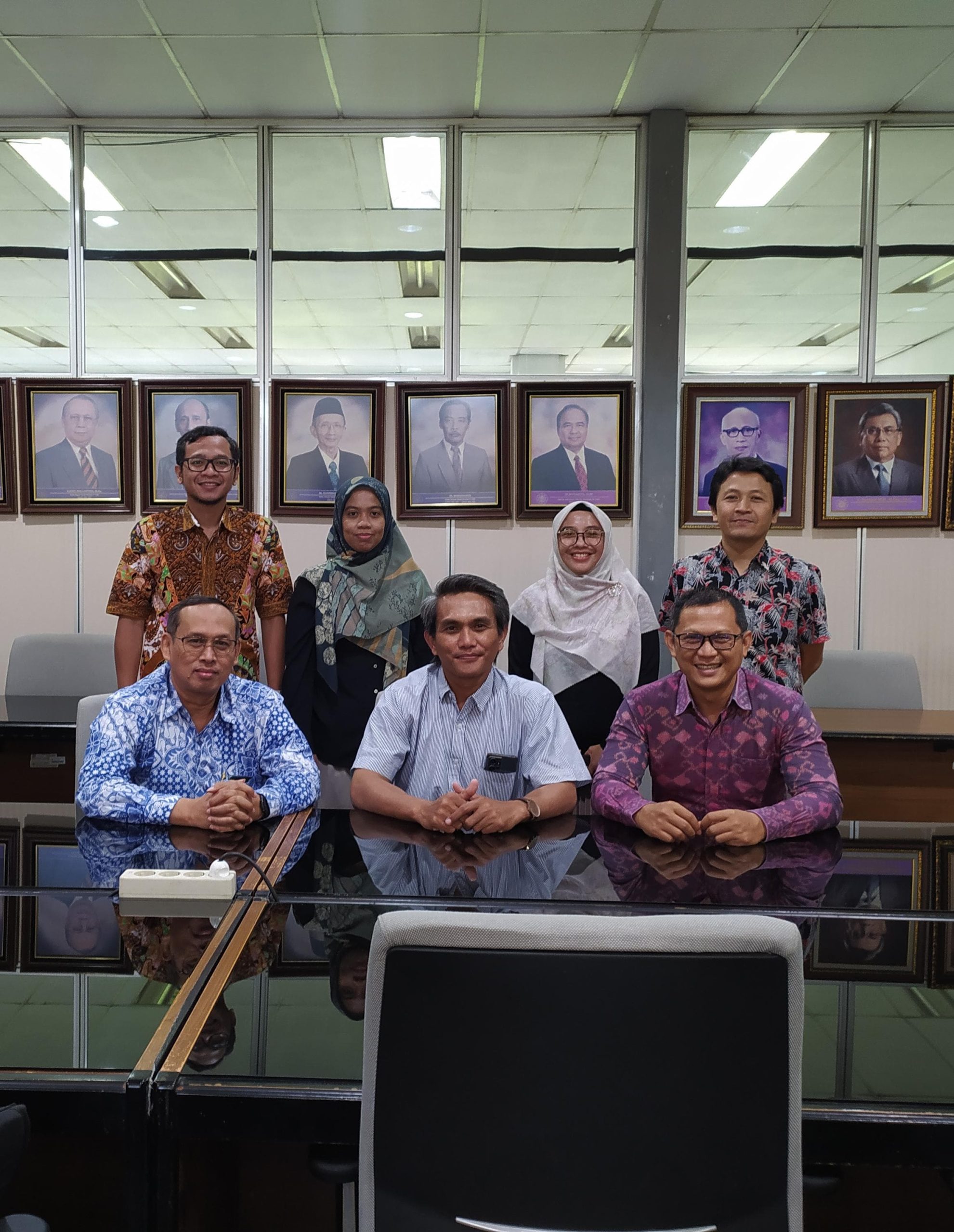
A delegate from the Indonesian Geospatial Information Agency visited the Department of Geodetic Engineering on 19 March 2024 to discuss the Standard (SNI) of the Boundary Official Map of Indonesia. I was in particular asked to be a discussion partner for the map being discussed is regarding maritime boundaries. The agency is preparing a new map to be published and they want to make sure they are implementing the latest standard.
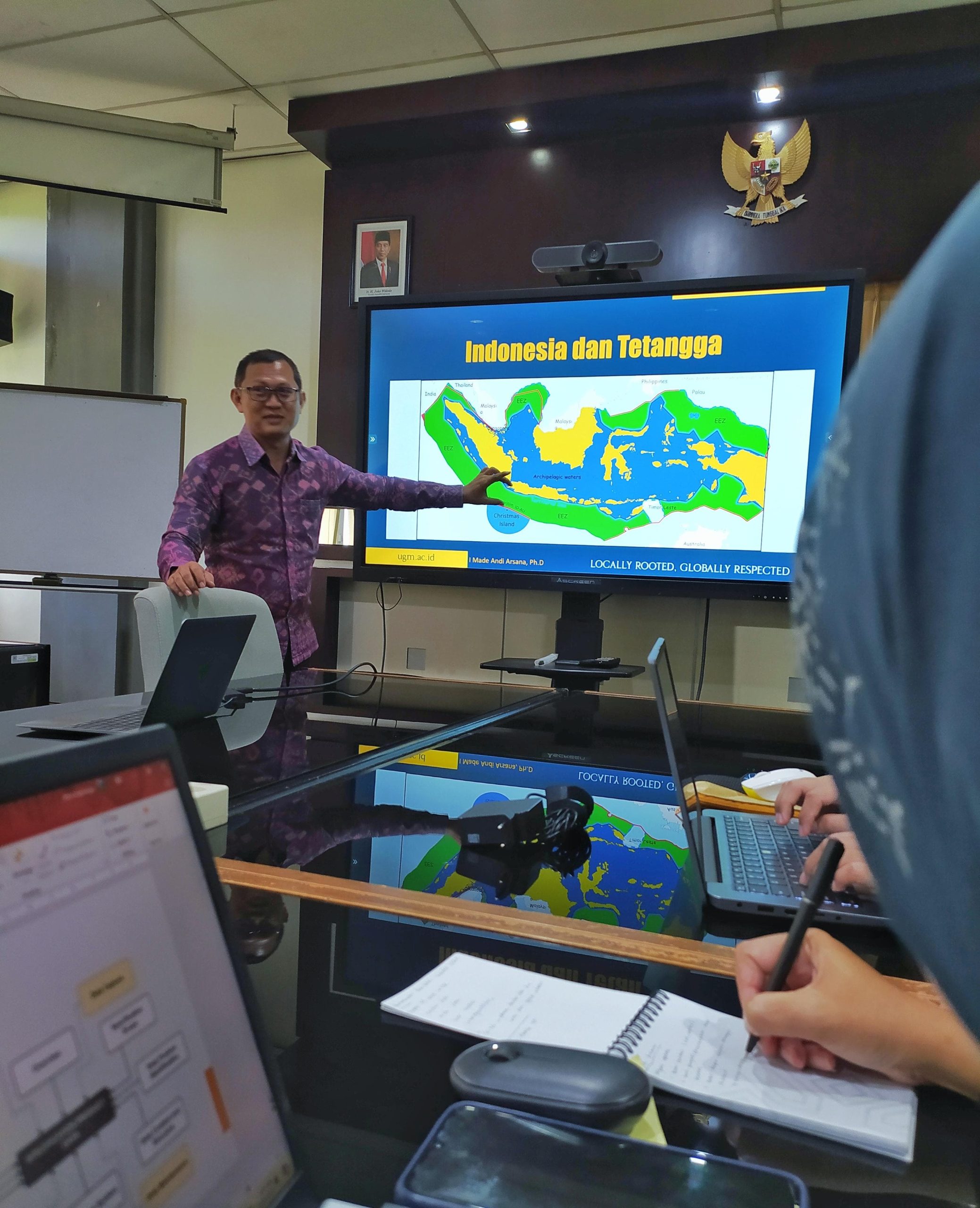
I gave some insights on maritime boundary issues for the delegate to understand better. I covered, especially, the history and development of the issue and how Indonesia came up with the current map. I also pointed out some potentially problematic segments that might need close attention when producing the new map. We might see a different map compared to the one we had in 2017 (the latest and current version).

The discussion went well and everybody seemed to manage to learn one thing or two. Such meeting is important to ensure collaboration between Industry/Government and the academic world. We look forward to working together more.