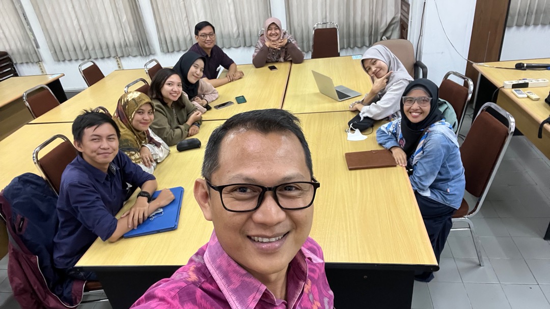
The first program I am running as the new head of the Master of Geomatic Engineering is GeoSharing. The program provides students to share their ideas and curiosity regarding geospatial issues, research and application. One student is asked to prepare a presentation and other would comment and ask questions. That way, a good discussion can take place. This is my way to help students enhance their scientific capacity.

On the first episode of GeoSharing, the presentation was made by Calvin Wijaya, a master student, who was in the preparation of his final thesis examination. Calvin presented at GeoSharing as a ‘rehearsal’ for his thesis defense examination. In addition, we also learned how to present scientific contents in a friendly manner, in such a ways that the laymen would also understand. That is not easy but possible.
In his thesis, Calvin explores the application of machine learning for automatic object recognition in terrestrial laser scanning (TLS) application. Geospatial professionals generally understand the application of TLS in capturing objects in 3D manner. TLS can capture objects in such a way that the objects are geometrically accurate. However, recognising the description and character of the objects is a different thing. The main question is how to implement machine learning to automatically recognise objects(name, type) captured using TLS. I can imagine that the research can be widely applicable in the future.
Most important thing is that students learned how to create friendly environment for research and scientific activities. See you in the next GeoSharing.
