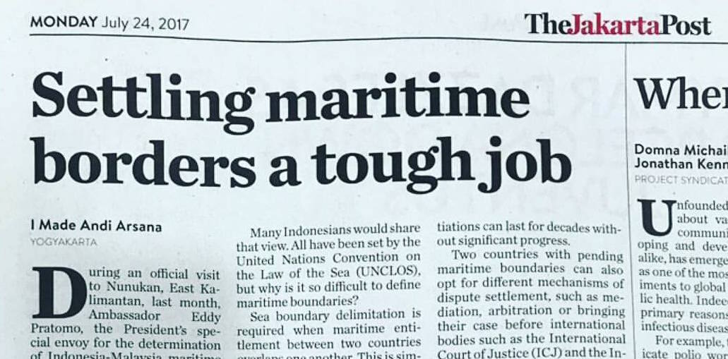
Opinion, The Jakarta Post, 24 July 2017
In an official visit to Nunukan, East Kalimantan, on June 13, 2017, Ambassador Eddy Pratomo, the Special Envoy of the President for the Determination of Indonesia-Malaysia Maritime Boundaries, informed the progress of his assignment. He clearly noted that the two countries are now working hard toward the definition of fence at sea between them and some progress have been made.
Ambassador Pratomo was appointed two years ago as a special envoy to deal with Indonesia-Maritime Boundary indicating how important the borders between Indonesia and Malaysia are. Indonesia has ten neighbours to settle maritime boundary with and President Joko Widodo appointed a special envoy only for Indonesia-Malaysia maritime boundaries. This might also shows the complexity and sensitivity of the borders between the two countries.
It is worth noting that the first maritime boundary segment between Indonesia and Malaysia was settled in 1969 and nearly half a decade later, the borders have yet to be finalized. Similarly, maritime boundaries between Indonesia and Singapore also need more than 40 years to finalize even though it is only for a relatively short distance. With Vietnam, Indonesia took around 25 years to settle maritime boundaries dividing seabed between them. A similar lengthy process also applies to Indonesia-Philippines maritime boundary that was agreed upon in 2014. These simply confirm how difficult it is to define maritime boundaries between two countries.
The above stories remind me of a radio interview where I was asked about settling maritime boundaries. A listener commented that defining boundaries between Indonesia and its neighbours should not be so hard. “All have been clearly regulated,” he said, “that each country is entitled to 12 nautical miles of territorial sea, 200 nautical miles of Exclusive Economic Zone (EEZ), etcetera. Why did not the government just settle it? When Indonesia’s entitlement overlaps with others’, just divide by two. Same distance. Easy!”
I am sure the man is not alone. Thousands of people in Indonesia, I am sure, have a similar VIEW. All have been set by the law of the sea convention or UNCLOS, why is it so hard to define maritime boundaries?
It is worth noting that maritime boundary delimitation is required when maritime entitlement between two countries overlaps one another. This is simply because the maritime space between two countries is not large enough for the two countries to claim the entire maritime zones as permitted by UNCLOS. The overlapping zone can be territorial sea, EEZ or continental shelf depending upon the distance between the two. Hence maritime delimitation can be for territorial sea, EEZ or continental shelf. In UNCLOS, maritime delimitation of each zone is governed by different provision.
In the case of Indonesia, maritime delimitation is required mostly for EEZ and continental shelf, which in UNCLOS is governed by article 74 and 83 respectively. The two provisions are very similar, the main point of which is to achieve an “equitable solution” between two countries in question. The provisions do not mention any specific method such as equidistance or median line to define borderline between two countries. For example, there is no specific rule in UNCLOS to guide that the division of EEZ or continental shelf between two countries has to produce same distance or same size of maritime area.
“Equitable solution” as required by UNCLOS does not have to be represented by equidistance or median line. This uncertainty leaves a very large space for countries in question to negotiate. Each country will have their own interpretation and interest when it comes to maritime boundaries and discrepancies between two countries can be huge. Such difference is the main source of long-standing pending maritime boundaries. Consequently, negotiation can last for decades without significant progress.
Two countries with pending maritime boundaries can also opt for different mechanism of dispute settlement such as mediation, arbitration or bringing their case before international bodies such as International Court of Justice (ICJ) and International Tribunal for the Law of the Sea (ITLOS). Apparently, Indonesia still believes that negotiation is the best way for maritime delimitation and has never brought any maritime boundary delimitation case to either ICJ or ITLOS.
The appointment of a special envoy for the case of Indonesia-Malaysia maritime boundaries, for example, is a strong indication that Indonesia believes in negotiation. This also gives a stronger political mandate to the special envoy to accelerate maritime boundary negotiation between the two countries. It is interesting to observe, even with such a strong political mandate, a special envoy still requires a reasonably long time to make progress.
Most importantly, maritime boundary settlement is a bilateral process. It requires both parties to be at the same page, while we know that it is not always the case. Indonesia might consider the settlement of maritime boundaries with Country A as a top priority matter but Country A may not see the same urgency for it has some other more important issues to deal with such as education, economy, national security, etc. Yes, settling maritime boundaries is by no means easy. Whoever involved in the process has to have the ability to carefully combine and synchronize legal and technical aspects to achieve a political solution.